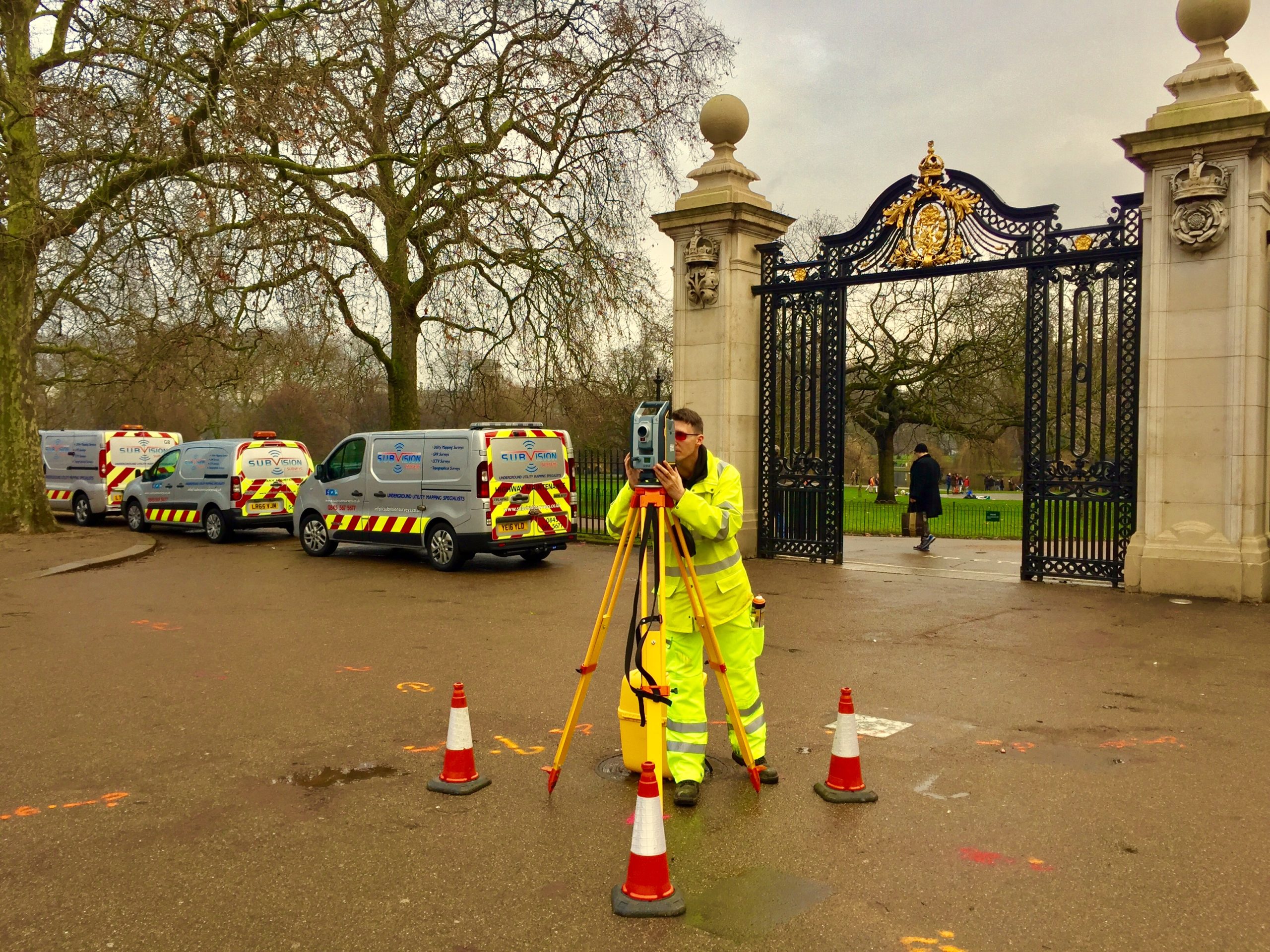
Types of Land Surveys
There are several different types of land surveys, each serving a unique purpose:
- Boundary Surveys: These surveys define the exact boundaries of a piece of land. They are crucial for ensuring that properties are properly divided, avoiding disputes with neighbouring landowners, and ensuring that fences or buildings don’t encroach on neighbouring property.
- Topographic Surveys: These surveys map out the land’s features, such as natural contours, elevation, and other physical characteristics. Topographic surveys are particularly useful for developers planning projects like roads, drainage systems, or large-scale buildings, as they provide valuable data about the land’s slope and suitability.
- Subdivision Surveys: These are used when a larger piece of land is divided into smaller parcels, often for sale or further development. A subdivision survey will show how the land is divided and any legal constraints that may apply to each lot.
- Construction Surveys: Used to guide the construction of new buildings or other infrastructure, construction surveys mark out where buildings, roads, and utilities should go, ensuring the development stays within the approved design.
Why Land Surveys Matter for Property Development
Land surveys play a pivotal role in property development for several reasons. Below are some of the most significant reasons why land surveys are critical:
- Accurate Mapping of Boundaries: A land survey ensures that the property’s boundaries are clearly defined and legally recognised. Without this, developers could risk encroaching on adjacent land, leading to legal disputes and delays. By having clear boundaries, property owners can avoid potential boundary issues and protect their investments.
- Identifying Potential Risks: Surveys can help identify potential risks related to land use and development. For example, if the land is prone to flooding, the survey will show this, allowing developers to take measures to mitigate the risk, such as building flood barriers or raising the property’s foundation. Without this information, developers may unknowingly put their investment in harm’s way.
- Zoning and Legal Compliance: Before any construction can begin, a land survey ensures that the development complies with local zoning laws and building codes. Zoning laws can limit the type of development that can occur in a specific area, whether it’s residential, commercial, or industrial. A survey ensures that developers stay within the legal limits, preventing fines and delays.
- Planning for Future Development: Accurate land surveys can provide insights into how the land can be used in the future. This includes identifying areas suitable for expansion, planning for utilities or infrastructure, and anticipating any challenges that could arise as the land develops over time. This foresight is essential for long-term project success.
- Financing and Permits: Lenders and investors require clear, accurate data before approving loans or investments for a development project. A land survey can be used as part of the documentation to demonstrate that the property is viable for development and that all necessary legal and technical aspects are covered. Similarly, local authorities may require a land survey before granting development permits.
Case Study: A Land Surveying Success
One developer in Essex was considering a large-scale residential project but needed to ensure the land was suitable for construction. A detailed land survey revealed that parts of the land were prone to flooding and contained a few minor issues with existing drainage. The survey provided solutions to mitigate these issues, and as a result, the developer was able to proceed with the project with confidence. Without this survey, they might have faced costly delays or complications down the road.
Conclusion
Land surveys are essential for any property development project, providing accurate data that helps developers, landowners, and investors make informed decisions. Whether you’re assessing the potential of a new property, planning construction, or dealing with legal matters, a thorough land survey is a crucial first step.
By engaging a professional surveyor, you ensure that your project is built on a solid foundation, both literally and legally.
Our Location


