
Our Underground Surveying Services

PAS128 Surveys
PAS128 surveys provide accurate underground utility mapping to reduce risk and delays.

Topographical Surveys
Topographical surveys provide accurate land and site data to support planning and design.

GPR Surveys
GPR surveys identify hidden underground features to support safer site development works.

Towed GPR Surveys
Desktop utility search packs provide essential PAS128 Type D underground asset data.

Ferro Scanning
Ferro scanning and GPR rebar mapping surveys locate hidden steel and concrete details.

CCTV Surveys
CCTV drainage surveys and jetting identify blockages and assess pipe conditions fast.

Drainage Repairs
Drainage repairs resolve damaged pipework, restoring performance and preventing future issues.

Drainage Line + Level Surveys
Drainage line and level surveys accurately assess pipe gradients, depths and network performance.

Utility Search Packs / PAS128 Type D
Desktop utility search packs provide essential PAS128 Type D underground asset data.

Virtual Trial Holes
Virtual trial holes use advanced GPR technology to identify underground assets non-intrusively.

Measured Building Surveys
Measured building surveys provide accurate dimensional data for design, planning and development.
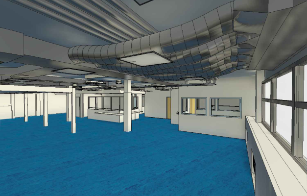
3D Laser Scanning – Modelling – BIM
3D laser scanning, modelling and BIM services deliver precise digital representations of assets.

Drone Surveys
Drone surveys capture high-resolution aerial data for inspections, mapping and analysis.
We pride ourselves on delivering a wide range of professional surveying services, supported by an experienced team of surveyors and CAD technicians. Using the latest equipment and proven techniques, we provide accurate and reliable data to support projects across the UK.
Our services include PAS 128 utility surveys, GPR surveys, topographical surveys, measured building surveys, CCTV drainage surveys, drainage mapping, 3D laser scanning, BIM modelling, drone surveys, geotechnical investigations and desktop utility search packs. Whether working with contractors, developers, architects or private clients, we provide the information needed to plan, design and build with confidence.
Get Your Free Quote
Why Choose Subvision?
PAS128 Surveys, Ferro Scanning, CCTV Surveys and more!
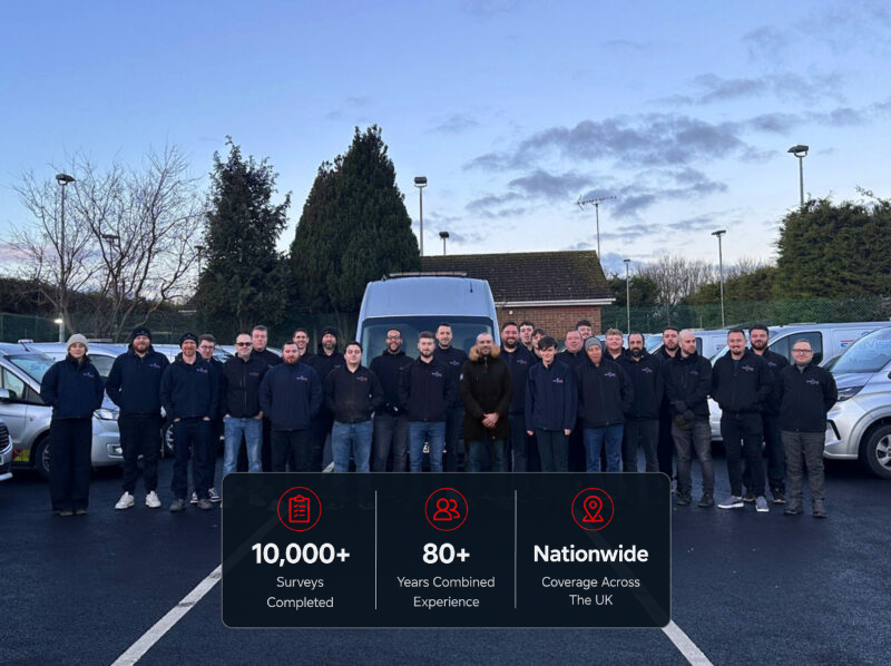
With decades of industry experience, our team combines specialised techniques with cutting-edge equipment to provide reliable solutions for Tier 1 contractors, developers, contractors, planners, and private individuals alike.
Popular services include drainage location surveys, underground utility mapping, Mobile GPR Ground Penetration Surveys and underground services surveys which we complete with confidence in London and nationwide. For experts in Land Surveys Call Today.
GOODTrustindex verifies that the original source of the review is Google. I have worked closely with Subvision for the past 2-years now. I'm always so impressed by how professional and efficient they are in the way they work. It is always a positive experience with each member of staff that I have dealt with.Posted on GoogleTrustindex verifies that the original source of the review is Google. Excellent service, fast response, great team. Would highly recommend subvision. Very happy!Posted on GoogleTrustindex verifies that the original source of the review is Google. Super professional service! Would highly recommend.Posted on GoogleTrustindex verifies that the original source of the review is Google. Great service. I reached out to Subvision as I needed a survey for a property I recently bought. The process from start to finish was quick and efficient. The team attending my property and those in the office were friendly and very helpful. All questions I had were answered thoroughly. I have already recommended to one of my friends and will definitely use Subvision’s services again in the future, if needed. Thanks again!Posted on GoogleTrustindex verifies that the original source of the review is Google. Helpful survey team, Konor is very helpfulPosted on GoogleTrustindex verifies that the original source of the review is Google. We have recently had an ongoing project that required underground survey before work being carried out and found the staff where very helpful and knowledgeable . The work was carried out very efficiently and professionally with all reports being very helpful. Well done and Thank you. Thoroughly recommend.Posted on GoogleTrustindex verifies that the original source of the review is Google. We recently completed a project at our home address in Essex and was required to locate all live and possible unknown utilities at the address. We used Sub Vision for this service, which provided an amazing service, detailed on site mark up and left us confident for our dig.Posted on GoogleTrustindex verifies that the original source of the review is Google. Excellent service
Have Any Questions?
If you have any questions regarding our services feel free to contact the Subvision team.
