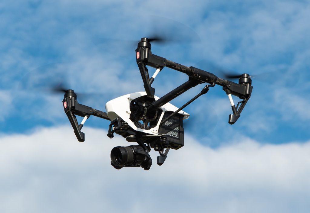

Aerial Surveying with Drones
Aerial Surveying with Drones by Sky Vision Surveys
Sky Vision Surveys is at the forefront of the drone revolution in aerial surveying. Our unmanned aerial vehicle (UAV) surveys have ushered in a transformative era in the surveying and mapping industry. We harness the capabilities of advanced drones equipped with high-resolution cameras, LiDAR sensors, and thermal imaging technology to capture intricate aerial imagery and collect precise geospatial data. Our approach is not only cost-effective but also remarkably efficient.
Sky Vision Surveys is committed to providing tailored, state-of-the-art solutions to meet the unique demands of your industry. Experience the future of aerial surveying with us. Contact us today to discuss your project requirements and unlock the endless possibilities offered by our drone technology.
Unsure what services you need?
Feel free to contact the team 03300 579 730
Our Location
EXCELLENTBased on 6 reviews Trustindex verifies that the original source of the review is Google.
 Miguel Bathan2023-04-24Subvision Surveys is a top-notch surveying company that consistently delivers high-quality results. Their team is professional and knowledgeable, and they take the time to ensure that their clients' needs are met. I would highly recommend their services to anyone in need of accurate surveying data.Trustindex verifies that the original source of the review is Google.
 Chris Weller2023-04-24I have worked with Subvision on a number of projects. I have always found their work ethic and professionalism second to none. A massive thanks to James and the Subvision team.Trustindex verifies that the original source of the review is Google.
 Michael Flaherty2023-04-24Done a fantastic utility survey for me recently, will be my go-to choice for any surveying needs. I highly recommend!Trustindex verifies that the original source of the review is Google.
 Mia Cotton2023-04-24Brilliant teamTrustindex verifies that the original source of the review is Google.
 Bright Lights2020-01-20Very knowledgeable and friendly staff. The job itself was completed to a very high standard and the drawings that were provided afterwards were incredibly detailed and accurate. We have used similar companies in the past but these guys were so much better than all of them put together. Would definitely use Subvision again and look forward to doing so.
Have Any Questions?
Have Any Questions?
If you have any questions regarding our services feel free to contact the Subvision team.

