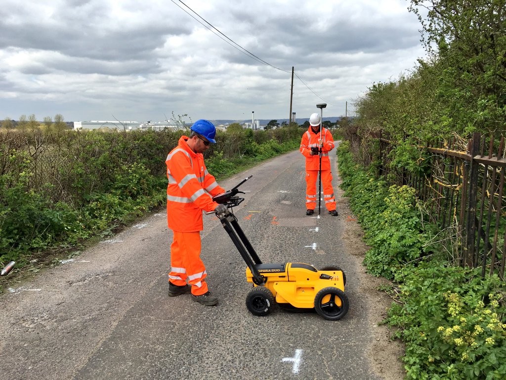
Types of Geophysical Surveys
Seismic Surveys: Map subsurface structures using seismic waves.
Magnetic Surveys: Detect variations in the earth’s magnetic field.
Electromagnetic (EM) Surveys: Identify subsurface materials using electromagnetic fields.
Ground-Penetrating Radar (GPR): Image the subsurface with radar pulses.
The Role of Geophysical Surveyors
Geophysical Surveyors are experts who design, conduct and interpret surveys using advanced equipment to ensure accurate data collection.
Importance and Benefits
Resource Exploration: Identifies natural resources like minerals, oil, and gas.
Environmental Assessment: Detects contaminants and monitors groundwater.
Engineering Applications: Evaluate ground conditions for construction.
Archaeological Investigations: Locates buried artifacts non-invasively.
Geophysical surveys are non-destructive, cost-effective, and provide comprehensive subsurface data for informed decision-making.
Applications
Mineral and Hydrocarbon Exploration
Geotechnical Engineering
Environmental Studies
Archaeology
In conclusion, geophysical surveys are vital for subsurface exploration and assessment. Professional Geophysical Surveyors use advanced techniques to deliver crucial data for various applications.
Geophysical Surveys encompass a wide range of subsurface exploration techniques, including Concrete Floor Slab Surveys that focus on evaluating the condition and composition of concrete floors.
Our Location


