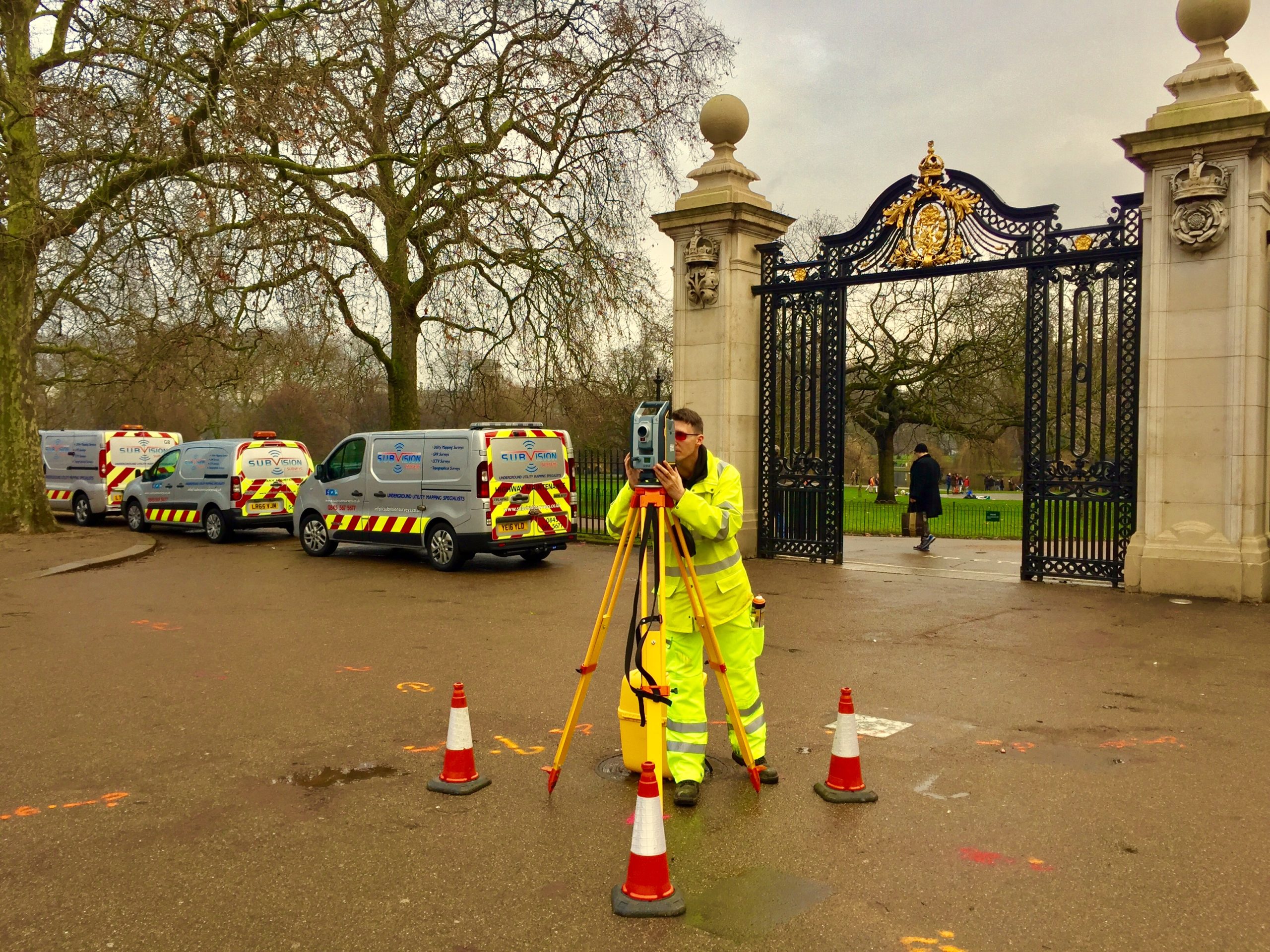

LiDAR Surveys
Subvision Surveys specialises in LiDAR surveys, delivering professional services nationwide. This advanced survey method captures detailed surface information and produces precise 3D models. LiDAR’s high accuracy makes it valuable for archaeology and mapping natural and manmade features.
By measuring laser light pulses that bounce off surfaces, our team creates intricate maps of the site. In addition to LiDAR, we offer a range of surveys that can be combined to ensure maximum precision, including EML surveys, as-laid surveys, desktop surveys, topographical surveys, borehole clearance surveys, GPR surveys, and CCTV surveys.
Unsure what services you need?
Feel free to contact the team 03300 579 730
Our Location
EXCELLENTBased on 6 reviews Trustindex verifies that the original source of the review is Google.
 Miguel Bathan2023-04-24Subvision Surveys is a top-notch surveying company that consistently delivers high-quality results. Their team is professional and knowledgeable, and they take the time to ensure that their clients' needs are met. I would highly recommend their services to anyone in need of accurate surveying data.Trustindex verifies that the original source of the review is Google.
 Chris Weller2023-04-24I have worked with Subvision on a number of projects. I have always found their work ethic and professionalism second to none. A massive thanks to James and the Subvision team.Trustindex verifies that the original source of the review is Google.
 Michael Flaherty2023-04-24Done a fantastic utility survey for me recently, will be my go-to choice for any surveying needs. I highly recommend!Trustindex verifies that the original source of the review is Google.
 Mia Cotton2023-04-24Brilliant teamTrustindex verifies that the original source of the review is Google.
 Bright Lights2020-01-20Very knowledgeable and friendly staff. The job itself was completed to a very high standard and the drawings that were provided afterwards were incredibly detailed and accurate. We have used similar companies in the past but these guys were so much better than all of them put together. Would definitely use Subvision again and look forward to doing so.
Have Any Questions?
Have Any Questions?
If you have any questions regarding our services feel free to contact the Subvision team.

