Geotech Surveys

Before a foundation is designed or a structure built, you need to understand the ground you’re building on. Geotechnical surveys assess soil, rock and subsurface conditions to inform foundation design, site suitability and construction planning, reducing the risk of unexpected ground conditions once work is underway, whether that’s a single building extension or a large-scale development.

Where GPR Fits Within Geotechnical Investigation

A full geotechnical investigation often includes physical ground investigation, such as boreholes and laboratory soil testing, to establish soil composition, bearing capacity and groundwater conditions in detail. Subvision Surveys’ role sits alongside this, using non-destructive GPR-based assessment to identify subsurface features, voids, existing foundations and buried obstructions across a site before physical investigation begins. Rather than drilling boreholes speculatively across a site and hoping to encounter anything unusual, a GPR survey first builds a picture of where ground conditions vary, helping direct where more detailed, physical investigation is actually needed.

What a GPR-Based Geotech Survey Can Reveal

GPR responds differently depending on what it passes through, which allows our surveyors to identify a range of subsurface conditions relevant to construction planning. This includes existing or historic foundations from previous structures on a site, buried made ground or backfill that may behave differently to natural strata under load, voids or areas of loose or disturbed ground, and the depth to bedrock or a significant change in ground material where this is detectable. On sites with a history of previous development, this can be particularly valuable, revealing old foundations, basements or services that may not appear on any existing record.

How Ground Conditions Affect Survey Results

The type of ground being surveyed has a real effect on what GPR can detect and how deep it can see. Dry, sandy or gravelly soils generally allow radar signals to penetrate further, giving clearer results at depth. Wet or clay-heavy soils, common across much of the South East, conduct electrical signals more readily, which can limit penetration depth and make deeper features harder to resolve. Our surveyors take this into account when planning a survey and interpreting results, adjusting equipment settings and expectations to suit the ground conditions of your specific site, rather than applying a one-size-fits-all approach regardless of soil type.

Supporting the Wider Site Investigation

Geotech-related GPR surveys are often carried out alongside our Borehole Excavation Clearance, Virtual Trial Holes and Desktop Utility Search Packs services, giving developers and engineers a fuller site picture before construction or consolidation work begins, without needing to coordinate between multiple separate providers for each stage of investigation.

Why Choose Subvision for Geotech Surveys

Subvision Surveys is SSIP and ISO accredited, with a team of over 25 surveying professionals delivering GPR-based geotechnical surveys for developers, engineers and contractors across London, the South East and nationwide.

Contact Subvision Surveys today to discuss your geotech survey requirements, or speak to one of our experts on 0333 920 9427.
Get Your Free Quote

Click or drag a file to this area to upload.

Popular surveys trusted by industry professionals.

Popular surveys trusted by industry professionals.

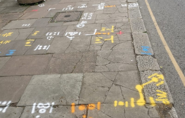
Underground utility markings sprayed on a pavement after a PAS 128 survey

PAS128 Surveys

PAS128 surveys provide accurate underground utility mapping to reduce risk and delays.

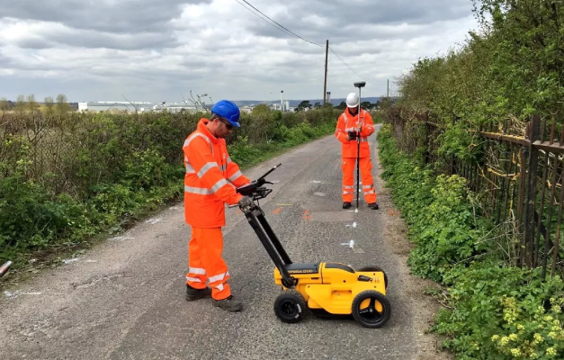
Subvision surveyors carrying out a GPR survey with a ground penetrating radar cart

GPR Surveys

GPR surveys identify hidden underground features to support safer site development works.

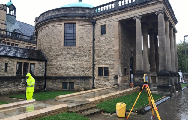
Surveyor using a total station for a topographical survey of a heritage building

Topographical Surveys

Topographical surveys provide accurate land and site data to support planning and design.

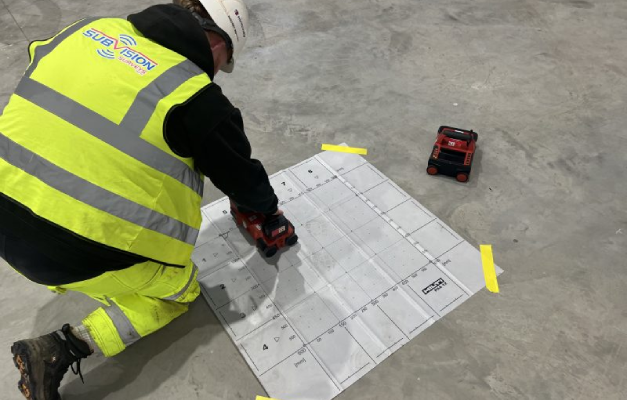
Surveyor ferro scanning a concrete floor slab over a reference grid

Ferro Scanning

Ferro scanning and GPR rebar mapping surveys locate hidden steel and concrete details.

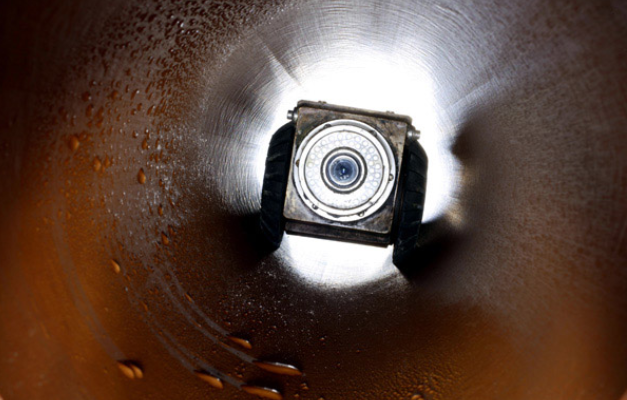
CCTV drain survey camera inspecting the inside of a drainage pipe

CCTV Surveys

CCTV drainage surveys and jetting identify blockages and assess pipe conditions fast.

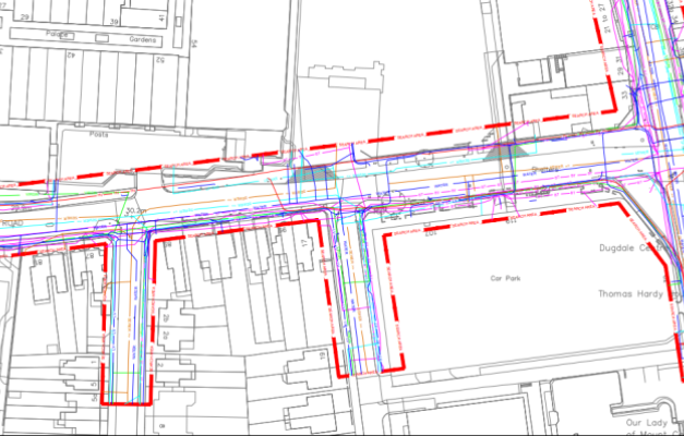
Utility search pack drawing showing buried service routes on a site plan

Utility Search Packs / PAS128 Type D

Desktop utility search packs provide essential PAS128 Type D underground asset data.

GEOTECH SURVEY FAQs

At Subvision Surveys, we’ve been providing professional surveying services for more than 3 decades, supporting domestic and commercial clients across Essex and the UK. Our experienced surveyors use Ground Penetrating Radar (GPR) alongside proven surveying techniques to help assess ground conditions before construction and engineering projects begin, identifying subsurface features that can inform where more detailed physical investigation, such as boreholes, is actually needed. We’re SSIP and ISO accredited, and provide reliable survey information that helps our clients make informed decisions and reduce risk from the outset of a project.

Our team works with homeowners, architects, engineers, developers, construction companies, civil engineering contractors and local authorities. Whether we’re supporting a residential development or a large commercial infrastructure project, we tailor every geotech survey to meet the specific requirements of your site, taking into account ground conditions, soil type and the scale of investigation your project needs. Our approach is adjusted accordingly, whether that’s a single site assessment ahead of a small extension or a larger, multi-phase development requiring a more extensive survey programme.

Our geotech surveys help provide valuable information about ground conditions, including soil, rock and subsurface features. Using Ground Penetrating Radar and other specialist surveying techniques, we can identify changes beneath the surface that may affect foundation design, excavation, construction and site planning, including existing or historic foundations, buried made ground, voids, and changes in ground material at depth. This is particularly useful on previously developed sites, where old foundations, basements or backfill material may not appear on any existing site record.

Every geotech survey begins by understanding your project requirements and site conditions. Our experienced surveyors carry out a detailed investigation using GPR and other advanced surveying equipment, adjusting our approach to suit the ground conditions present, before carefully analysing the collected data. We then provide clear survey reports that support architects, engineers and contractors throughout the planning and construction process, helping direct where any further physical investigation, such as boreholes or sampling, should be targeted rather than approached speculatively.

Understanding ground conditions before construction begins can help reduce delays, minimise unforeseen ground issues and support safer project planning. Our geotech surveys provide our clients with reliable information that helps improve design decisions, reduce project risks and ensure construction work is based on accurate site data rather than assumptions. This is particularly valuable on sites with a history of previous development or uncertain ground conditions, where unexpected subsurface features could otherwise cause significant delay or additional cost once construction is already underway.

Yes. We regularly combine geotech surveys with Ground Penetrating Radar (GPR) surveys, underground utility surveys, utility stats searches, virtual trial holes, manhole inspections, topographical surveys and other specialist surveying services. By combining multiple survey techniques, we provide our clients with a more complete understanding of their site before work gets underway. Because Subvision Surveys carries out all these services in-house, this doesn’t mean coordinating between separate providers, our own team applies whichever combination best suits your site and project stage.

When you choose Subvision Surveys, you’re choosing a specialist team with decades of industry experience and a reputation for accuracy, reliability and excellent customer service. We’re SSIP and ISO accredited, and from your initial enquiry through to receiving your completed survey information, we provide clear communication, expert advice and dependable survey solutions that support domestic and commercial projects of every size, whatever the ground conditions or complexity of the site involved.

Have Any Questions?

If you have any questions regarding our services feel free to contact the Subvision team.

Subvision Surveys accreditations: QUVA ISO certification, Achilles UVDB, SafeContractor, Constructionline, Builder's Profile, European GPR Association, Avetta, SMAS, CHAS, Essex Chambers of Commerce and The Survey Association