Underground Utility Mapping birmingham

As the UK’s second largest city, Birmingham combines a dense Victorian industrial core with major ongoing regeneration, including the HS2 development corridor and large-scale city centre redevelopment. Few places in the country have this combination of buried industrial legacy and live, large-scale infrastructure investment happening at the same time.

Industrial Legacy Beneath the City

Birmingham’s rise as a centre of manufacturing left behind a dense legacy of utility infrastructure, much of it installed during the city’s Victorian and early twentieth-century industrial expansion. Old factory sites, canal-side former industrial land and dense city centre streets can carry layers of infrastructure added over more than a century, not all of it accurately reflected in current records. This makes Birmingham a city where relying on desktop records alone carries genuine risk, and where a combined electromagnetic and GPR survey adds real value over assumption.

Working Near Major Infrastructure Projects

With HS2 construction and associated development ongoing across parts of the city, utility mapping in Birmingham sometimes needs to account for nearby major infrastructure works, temporary diversions, and construction activity that can affect both access and the accuracy of existing utility records if they haven’t yet been updated to reflect recent changes. Our surveyors stay aware of this context when working on sites near active development corridors.

Regeneration and New Build Across the City

Beyond the historic core, Birmingham continues to see substantial new residential and commercial development, from city centre apartment schemes to suburban expansion. These newer sites carry a different risk profile to the Victorian core, more recently installed services, but not always services that are fully reflected in current records either.

Subvision Surveys is SSIP and ISO accredited, with a team of over 25 surveying professionals delivering underground utility mapping across Birmingham and the wider West Midlands.

Contact Subvision Surveys today to discuss underground utility mapping in Birmingham or Bristol, or speak to one of our experts on 0333 920 942.
Get Your Free Quote

Click or drag a file to this area to upload.

Popular surveys trusted by industry professionals.

Popular surveys trusted by industry professionals.

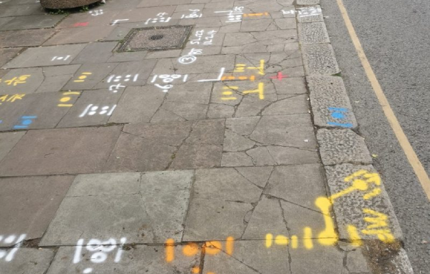
Underground utility markings sprayed on a pavement after a PAS 128 survey

PAS128 Surveys

PAS128 surveys provide accurate underground utility mapping to reduce risk and delays.

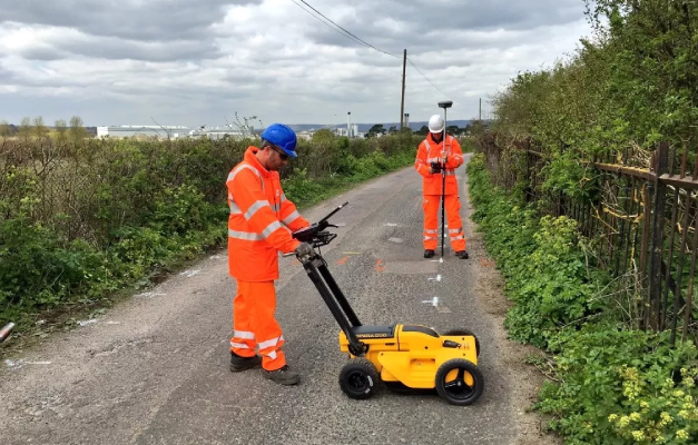
Subvision surveyors carrying out a GPR survey with a ground penetrating radar cart

GPR Surveys

GPR surveys identify hidden underground features to support safer site development works.

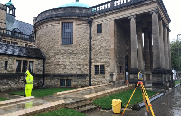
Surveyor using a total station for a topographical survey of a heritage building

Topographical Surveys

Topographical surveys provide accurate land and site data to support planning and design.

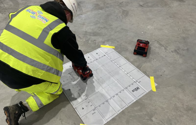
Surveyor ferro scanning a concrete floor slab over a reference grid

Ferro Scanning

Ferro scanning and GPR rebar mapping surveys locate hidden steel and concrete details.

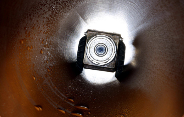
CCTV drain survey camera inspecting the inside of a drainage pipe

CCTV Surveys

CCTV drainage surveys and jetting identify blockages and assess pipe conditions fast.

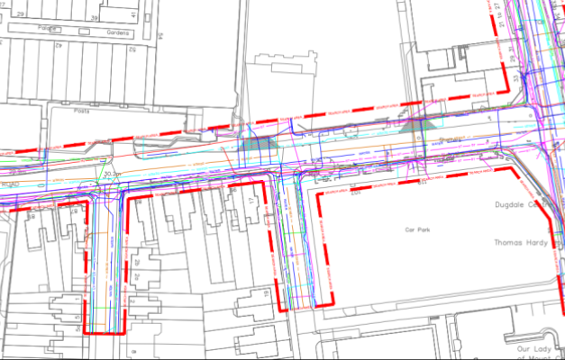
Utility search pack drawing showing buried service routes on a site plan

Utility Search Packs / PAS128 Type D

Desktop utility search packs provide essential PAS128 Type D underground asset data.

Underground Utility Mapping FAQ’S

Underground utility mapping is the process of identifying and recording the position of buried services beneath a site, such as electricity cables, gas pipes, water mains, telecoms and drainage. Using a combination of electromagnetic detection and Ground Penetrating Radar, our surveyors build an accurate picture of what’s below ground, including both the horizontal position and approximate depth of each service identified. This information is typically presented as a drawing or plan, giving architects, engineers and contractors a clear reference to plan excavation, construction or design work around before any work on site begins.

Electromagnetic detection traces the signal given off by live cables and metallic pipes, making it fast and effective for locating power, telecoms and metallic water infrastructure. However, it can’t detect non-metallic services, such as plastic water or gas pipework, since these don’t carry an electromagnetic signal. GPR fills this gap by detecting changes in the ground itself rather than relying on a signal, allowing it to identify non-metallic services, voids and other subsurface features. Using both methods together means a survey isn’t limited by the blind spots either technique has when used on its own.

Accuracy depends on a combination of factors, including ground conditions, the age and type of the utilities present, and the experience of the surveyor interpreting the results. Our surveyors use both electromagnetic and GPR detection together to improve reliability, since relying on a single method increases the risk of missing certain service types entirely. While no non-intrusive survey can guarantee absolute certainty in every ground condition, combining detection methods with experienced interpretation gives a strong, dependable indication of utility position and depth before any excavation work begins.

Underground utility mapping is typically carried out at the early planning or feasibility stage of a project, before excavation, drilling or piling work is scheduled to begin. Carrying out mapping early allows the results to inform site layout, design decisions and risk assessment, rather than being discovered as an afterthought once construction is already underway. It’s also commonly requested as part of due diligence before purchasing or developing a site, giving a clearer picture of what utility infrastructure is present before committing to a particular scheme or layout.

You’ll receive a report and drawing showing the location and approximate depth of utilities identified across the survey area, giving your project team a clear, reliable reference for planning excavation, construction or design work. This is typically provided in a format compatible with standard CAD software, so it can be used directly by architects, engineers and contractors without further conversion. Where a project would benefit from further verification, such as physical confirmation of specific utility positions, this can be followed up with a PAS128 survey or trial holes.

Have Any Questions?

If you have any questions regarding our services feel free to contact the Subvision team.

Subvision Surveys accreditations: QUVA ISO certification, Achilles UVDB, SafeContractor, Constructionline, Builder's Profile, European GPR Association, Avetta, SMAS, CHAS, Essex Chambers of Commerce and The Survey Association