Popular surveys trusted by industry professionals.
Measured Building Surveys

Measured building surveys provide accurate dimensional data for design, planning and development.

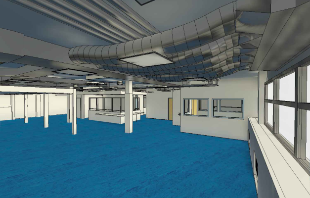
3D Laser Scanning – Modelling – BIM

3D laser scanning, modelling and BIM services deliver precise digital representations of assets.

Topographical Sruveys

Topographical surveys provide accurate land and site data to support planning and design.

Drove Surveys

Drone surveys capture high-resolution aerial data for inspections, mapping and analysis.

3D Laser Scanning Point Clouds

Excelling in Terrestrial laser scanning services, offering unmatched 3D project preservation and analysis.

Get Your Free Quote

Your Vision, Our Precision

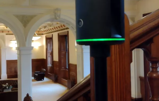
Our sister company Skyvision specialise in delivering accurate Measured Building Surveys to support architects, developers, property owners and construction professionals. Using a combination of traditional surveying techniques and advanced laser scanning technology, we produce precise floor plans, elevations and sections for residential, commercial and heritage properties. All surveys are completed to RICS standards, providing the reliable data needed to plan, design and develop with confidence.
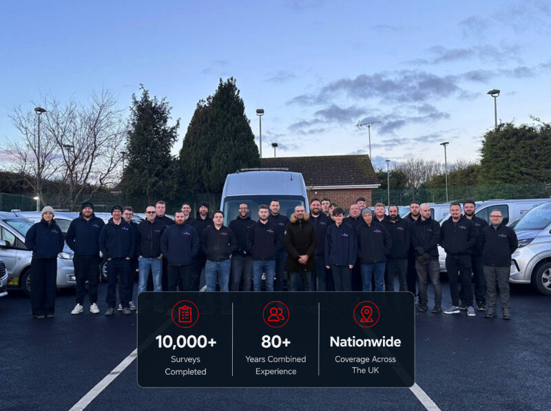
Have Any Questions?

If you have any questions regarding our services feel free to contact the Subvision team.