C2 Utility Stats Searches & Composite Drawings

Before designing a route for a pipeline, cable or road corridor, planners need a clear picture of what’s already below ground along the entire length, not just at a single point. A C2 utility stats search gathers records from statutory undertakers covering your specified area, giving you documented information on buried services and obstructions to inform that planning process, before a single metre of the route is finalised on paper.

Built for Route and Corridor Planning

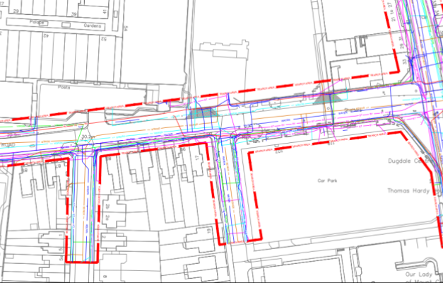
Unlike a single-site utility search, C2 searches are often commissioned for linear or extended areas, such as a proposed pipeline route, cable corridor or access road, where the area of interest could run for hundreds of metres or several kilometres rather than sitting within a single site boundary. Our composite drawings bring together records from multiple utility providers along that route into a single overlay, typically plotted onto a topographical survey or OS Tile, giving route planners and engineers one clear reference rather than a stack of separate provider records to cross-check individually. This matters particularly on longer routes, where a corridor may cross the network boundaries of several different utility companies, each holding records in a different format, at a different scale, and updated at different times.

Interpreting Records From Multiple Providers

Utility records supplied by statutory undertakers vary considerably in quality, some are detailed and recently updated, others are historic, incomplete, or recorded to a scale too coarse to be genuinely useful for route design. Our team reviews and interprets these records as they’re received, resolving inconsistencies between providers where routes or crossings overlap, and flagging areas where record quality is poor enough that on-site verification, such as a PAS 128 Survey or trial hole, would be worth commissioning before construction begins. This interpretation step is where genuine value is added, a raw stack of utility company responses on their own can be difficult for a route designer to use with any confidence.

Accredited for Work Across Live Infrastructure

Subvision Surveys is approved by SafeContractor, CHAS and Construction Line, alongside our SSIP and ISO accreditation, reflecting the standards expected when working near existing utility infrastructure during route planning and design. Our team combines this with years of practical experience interpreting utility records, many of which vary significantly in format and accuracy between providers, giving route planners a dependable starting point rather than a raw data dump to work through themselves.

Why Choose Subvision for C2 Utility Stats Searches

Subvision Surveys is SSIP and ISO accredited, and approved by SafeContractor, CHAS and Construction Line, giving route planners and engineers confidence in the standards behind every search and drawing we produce. With more than 3 decades of experience interpreting utility records from providers across the UK, we combine desktop searches with our PAS128 Utility Mapping Surveys and Virtual Trial Holes where a route or site requires on-site verification, giving you a route from desk-based records through to confirmed, physical detection under one team.

Contact Subvision Surveys today to discuss a C2 utility stats search or composite drawing for your project, or speak to one of our experts on 0333 920 942.
Get Your Free Quote

Click or drag a file to this area to upload.

Popular surveys trusted by industry professionals.

Popular surveys trusted by industry professionals.

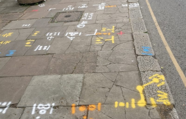
Underground utility markings sprayed on a pavement after a PAS 128 survey

PAS128 Surveys

PAS128 surveys provide accurate underground utility mapping to reduce risk and delays.

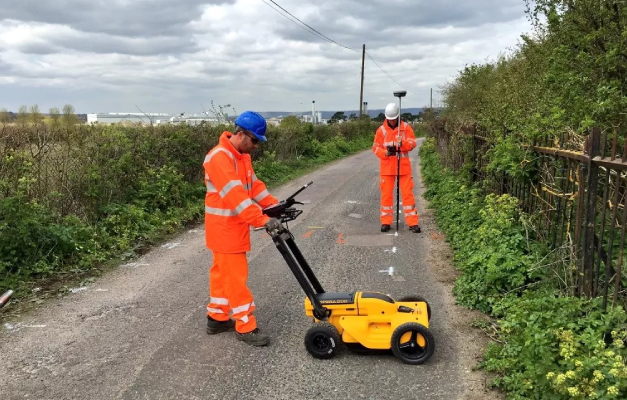
Subvision surveyors carrying out a GPR survey with a ground penetrating radar cart

GPR Surveys

GPR surveys identify hidden underground features to support safer site development works.

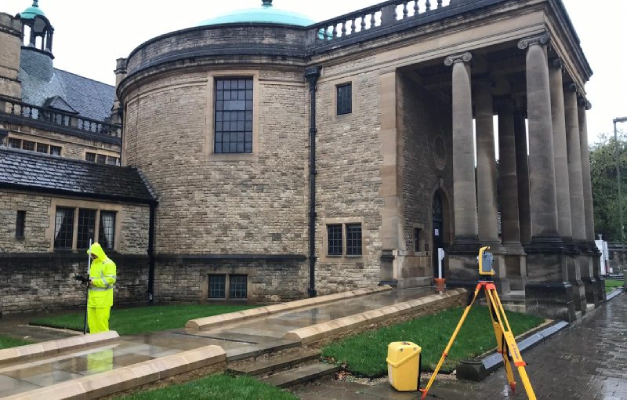
Surveyor using a total station for a topographical survey of a heritage building

Topographical Surveys

Topographical surveys provide accurate land and site data to support planning and design.

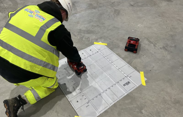
Surveyor ferro scanning a concrete floor slab over a reference grid

Ferro Scanning

Ferro scanning and GPR rebar mapping surveys locate hidden steel and concrete details.

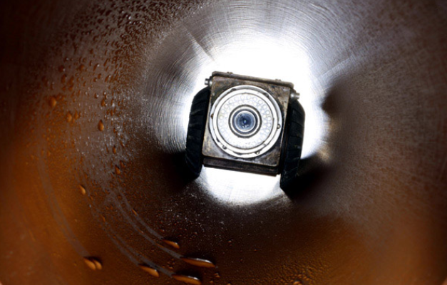
CCTV drain survey camera inspecting the inside of a drainage pipe

CCTV Surveys

CCTV drainage surveys and jetting identify blockages and assess pipe conditions fast.

Utility search pack drawing showing buried service routes on a site plan

Utility Search Packs / PAS128 Type D

Desktop utility search packs provide essential PAS128 Type D underground asset data.

C2 UTILITY STATS SEARCHES & COMPOSITE STATS DRAWINGS FAQ’S

At Subvision Surveys, we’ve been providing professional surveying services for more than 3 decades, supporting domestic and commercial clients across Essex and the UK. Our experienced team delivers accurate C2 Utility Stats Searches and Composite Stats Drawings, helping our clients identify existing utility records before work begins. We’re SSIP and ISO accredited, and also hold SafeContractor, CHAS and Construction Line approval, reflecting the standards expected when working near live utility infrastructure during route planning and design. We combine this with a reliable, responsive service to help projects progress safely and efficiently.

Our team works with homeowners, architects, engineers, developers, construction companies, civil contractors and local authorities. Whether you’re planning a residential extension, commercial development or infrastructure project, we provide the utility information needed to support informed planning and reduce the risk of unexpected underground services. This service is particularly valuable for linear projects such as pipeline routes, cable corridors or access roads, where utility records need to be gathered and interpreted across an extended area rather than a single site.

Our C2 Utility Stats Searches gather utility records from the relevant asset owners for your chosen site or route. We compile this information into a single, easy-to-understand package, giving our clients a clearer picture of known underground utilities before excavation, design or construction work begins. Because records from different providers can vary in format, scale and accuracy, our team reviews and interprets the raw data as it’s received, flagging any areas where record quality is poor enough that further on-site verification would be worthwhile.

Our Composite Stats Drawings combine information from multiple utility providers into one clear CAD drawing. Rather than reviewing several separate utility plans, our clients receive a single, organised drawing that is easier to interpret and use during planning, design and construction. This is especially useful on longer routes or corridors that cross the network boundaries of several different utility companies, where reconciling multiple separate plans manually would otherwise be a time-consuming and error-prone process for a design team to carry out themselves.

Our Composite Stats Drawings are widely used by architects, engineers, route planners, developers, contractors and utility consultants. By presenting utility information in a single drawing, we help our clients save time, improve coordination and make more informed decisions throughout their project. Route planners in particular benefit from having one consistent reference document to work from, rather than needing to manually cross-check information across multiple separate provider plans each time a route or corridor design is reviewed or revised.

Yes. We regularly combine C2 Utility Stats Searches with PAS128 utility surveys, Ground Penetrating Radar surveys, underground utility surveys, topographical surveys and other specialist services. By combining desktop utility records with on-site surveying, we provide our clients with a more complete understanding of existing ground conditions. This is particularly valuable where a C2 search identifies gaps or inconsistencies in the available records, giving a clear indication of where physical, on-site verification would add the most value before construction begins.

When you choose Subvision Surveys, you’re choosing a team with decades of industry experience and a reputation for delivering accurate, dependable survey information. We’re SSIP and ISO accredited, and from your first enquiry through to the delivery of your completed drawings and reports, we provide clear communication, expert advice and a professional service that supports domestic and commercial projects of every size, from a single site search through to a multi-kilometre route survey.

Have Any Questions?

If you have any questions regarding our services feel free to contact the Subvision team.

Subvision Surveys accreditations: QUVA ISO certification, Achilles UVDB, SafeContractor, Constructionline, Builder's Profile, European GPR Association, Avetta, SMAS, CHAS, Essex Chambers of Commerce and The Survey Association