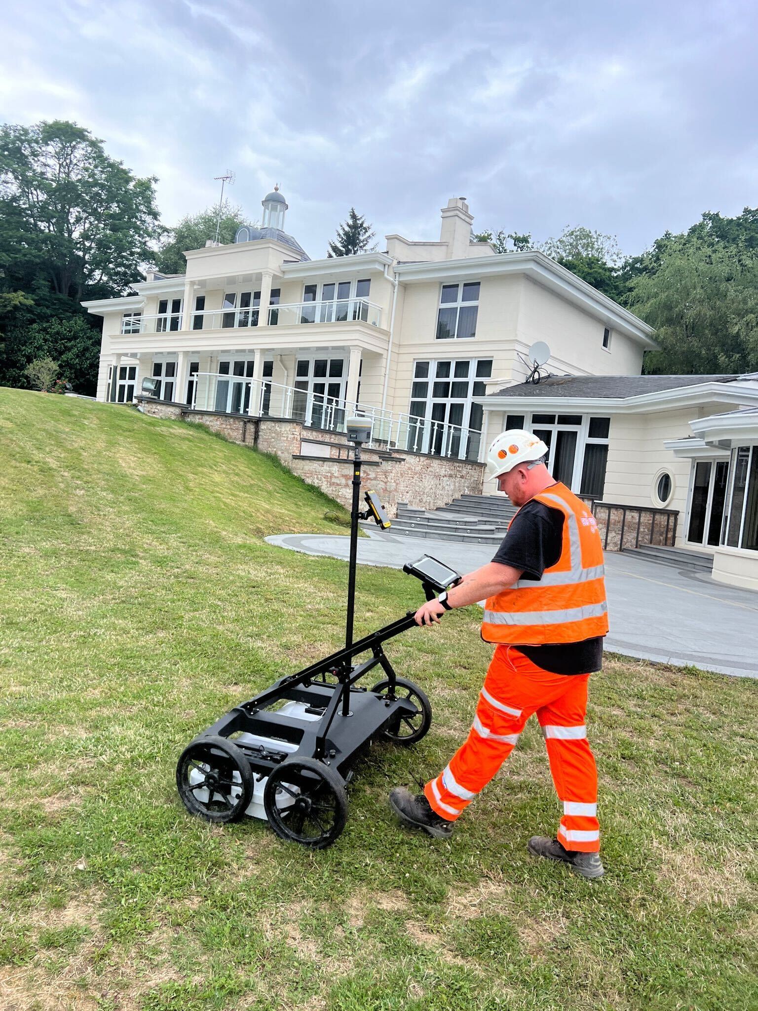
GPR Surveys – Applications
- Utility Mapping:
- Locates and maps buried utilities such as pipes, cables, and ducts.
- Identifies both metallic and non-metallic utilities.
- Archaeology:
- Locates and maps archaeological artifacts and features without excavation.
- Helps in planning archaeological digs and preserving heritage sites.
- Geotechnical Investigations:
- Assesses subsurface conditions for construction projects.
- Identifies voids, sinkholes, and other ground stability issues.
- Environmental Studies:
- Maps contaminant plumes and monitors environmental remediation.
- Investigates landfill sites and waste disposal areas.
- Structural Assessment:
- Inspects the condition of concrete structures, bridges, and pavements.
- Detects rebar, voids, and delamination within concrete.
GPR Surveys – How GPR Works
- Transmission:
- A GPR antenna emits short pulses of electromagnetic energy into the ground.
- Reflection:
- When these pulses encounter a boundary between materials with different dielectric properties, a portion of the energy is reflected back to the surface.
- Reception:
- The reflected signals are detected by a receiving antenna and recorded by the GPR system.
- Data Processing:
- The recorded signals are processed and analyzed to create a subsurface profile or 3D image.
- Advanced software is used to interpret the data and generate detailed maps and models.
GPR Surveys – Equipment
- GPR Antennas: Different frequencies are used depending on the depth and resolution required. Higher frequencies provide better resolution but shallower penetration, while lower frequencies penetrate deeper but with less detail.
- Control Unit: Collects and processes the data received from the antenna.
- Software: Used for data analysis, interpretation, and visualization.
GPR Surveys – Advantages of GPR
- Non-Invasive: No need for excavation or drilling.
- Versatile: Can detect a wide range of materials and features.
- High Resolution: Provides detailed images of the subsurface.
- Real-Time Results: Immediate data collection and analysis.
Limitations of GPR
- Depth Penetration: Limited by soil type and moisture content; clayey and wet soils reduce penetration depth.
- Interference: Can be affected by surface clutter and electromagnetic noise.
- Data Interpretation: Requires expertise to accurately interpret the data and distinguish between different subsurface features.
Standards and Regulations
In the UK, GPR surveys for utility detection and mapping are often conducted in accordance with the PAS128 specification, which provides guidelines for the quality and accuracy of underground utility surveys. Key points include:
- Survey Types: GPR is commonly used in Type B Detection Surveys.
- Quality Levels: Surveys are classified based on their accuracy and confidence levels.
- Methodology: Specifies the procedures and equipment to be used for consistent and reliable results.
GPR Surveys – Conclusion
GPR surveys are a crucial tool in the UK for a variety of applications, providing a non-invasive and efficient method for investigating the subsurface. By adhering to standards such as PAS128, GPR surveys deliver accurate and reliable data, supporting safe and effective planning and management of underground infrastructure and other subsurface features.
Our Location


