
Gyroscopic Surveys
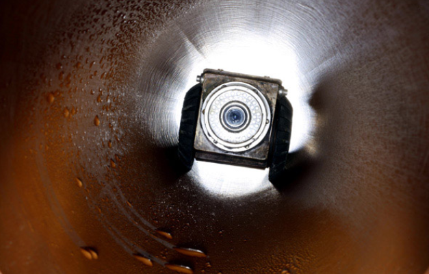
Gyroscopic surveying provides accurate directional and orientation data in environments where satellite positioning isn’t possible, such as underground, within tunnels, or inside pipelines and boreholes. By using a gyroscope to establish true north independently of GPS signals, this method allows precise alignment and positioning data to be captured on projects where GNSS simply can’t reach.
How Gyroscopic Surveys Work
A gyroscopic instrument measures the earth’s rotation to determine true north, providing accurate directional reference without relying on external signals. This makes it particularly valuable for underground and confined environments, including tunnels, shafts, and pipelines, where GNSS coverage is unavailable and traditional above-ground referencing methods can’t be used.
Where Gyroscopic Surveys Are Used
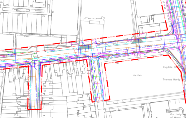
Gyroscopic surveying supports projects such as tunnel alignment, pipeline installation, and underground utility work, where accurate orientation data is essential to keep construction on the correct path over long or complex routes. With more than 3 decades of surveying experience, SSIP and ISO accredited processes, and Safe Contractor, CHAS, and Constructionline approved working methods, we deliver accurate gyroscopic survey data at competitive rates for projects where standard positioning methods aren’t an option.
GNSS SURVEY FAQ’S
