What PAS128 Survey Types Are There?
PAS128 Surveys come in various survey types with each particular one providing a different level of accuracy and use different methods:
- PAS128 Type A: Verification Survey
- Involves exposing the utility to verify its position. It also supplies the optimum highest levels of data and accuracy.
- PAS128 Type B: Detection Survey
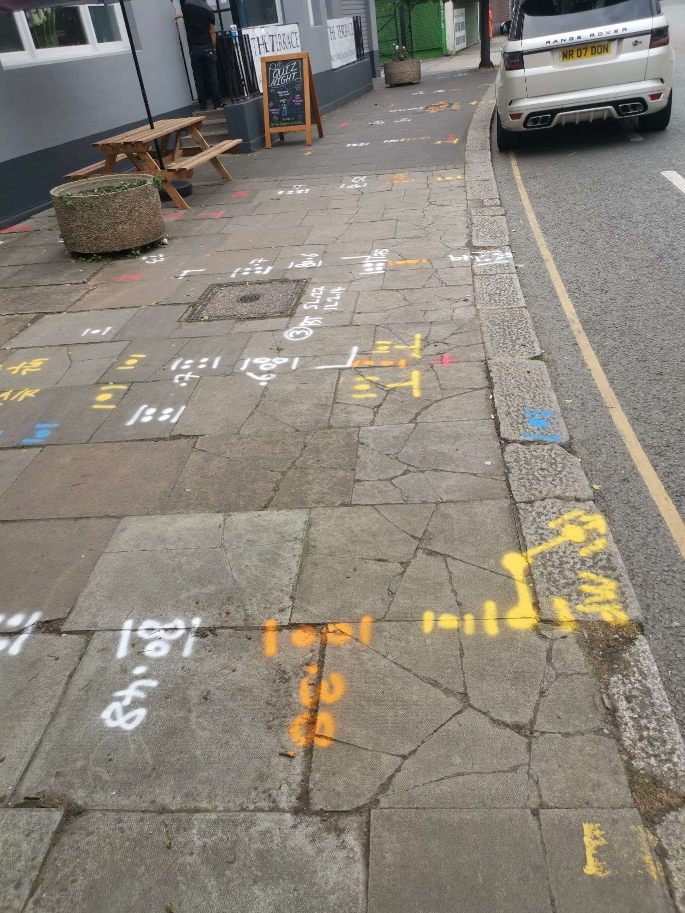
- A PAS128 Type B survey utilises geophysical methods such as Ground Penetrating Radar (GPR) and electromagnetic location technology. Sub-divided into four sub-types (B1, B2, B3 and B4) based on the density and confidence of detected utilities.
- PAS128 Type C: Site Reconnaissance Survey
- Requires gathering existing records and visible surface features to estimate the location of the utilities. A PAS128 Type C Survey provides less accuracy compared to Type A and B.
- PAS128 Type D: Desktop Utility Record Search
- This type of survey involves the collation and the reviewing of existing utility records without any on-site activities. This type of survey provides the least accuracy and is based on historical and available data.
PAS128 Survey Accuracy Defined
It’s important to understand the accuracy of a PAS128 survey. Below are the survey results and how they are classified into four quality levels (QL):
- QL-A: This is the highest accuracy, obtained from Type A surveys. QL-B: Accuracy from Type B surveys, with QL-B1 being the most accurate within this type. QL-C: Results from Type C surveys. QL-D are Least accurate, based on Type D surveys.
PAS128 Survey Applications
Below is a rough breakdown of the type of applications and how a PAS128 survey can assist with a range of factors including risk, data gathering to help planning to how PAS128 is essential to property development be it domestic or commercial to help provide the information required for a safe and efficient project.
Construction and Excavation Planning: Helps in reducing the risk of utility strikes and ensures safe excavation practices. Asset Management: helps utility companies in managing and maintaining their underground infrastructure. Urban Development: Supports planners and developers to understand the subsurface environment.
PAS128 ensures that underground utility surveys are conducted in a consistent manner, improving the reliability and accuracy of the data collected. This specification is essential for anyone involved in construction, civil engineering, or utility management.
Our Location


