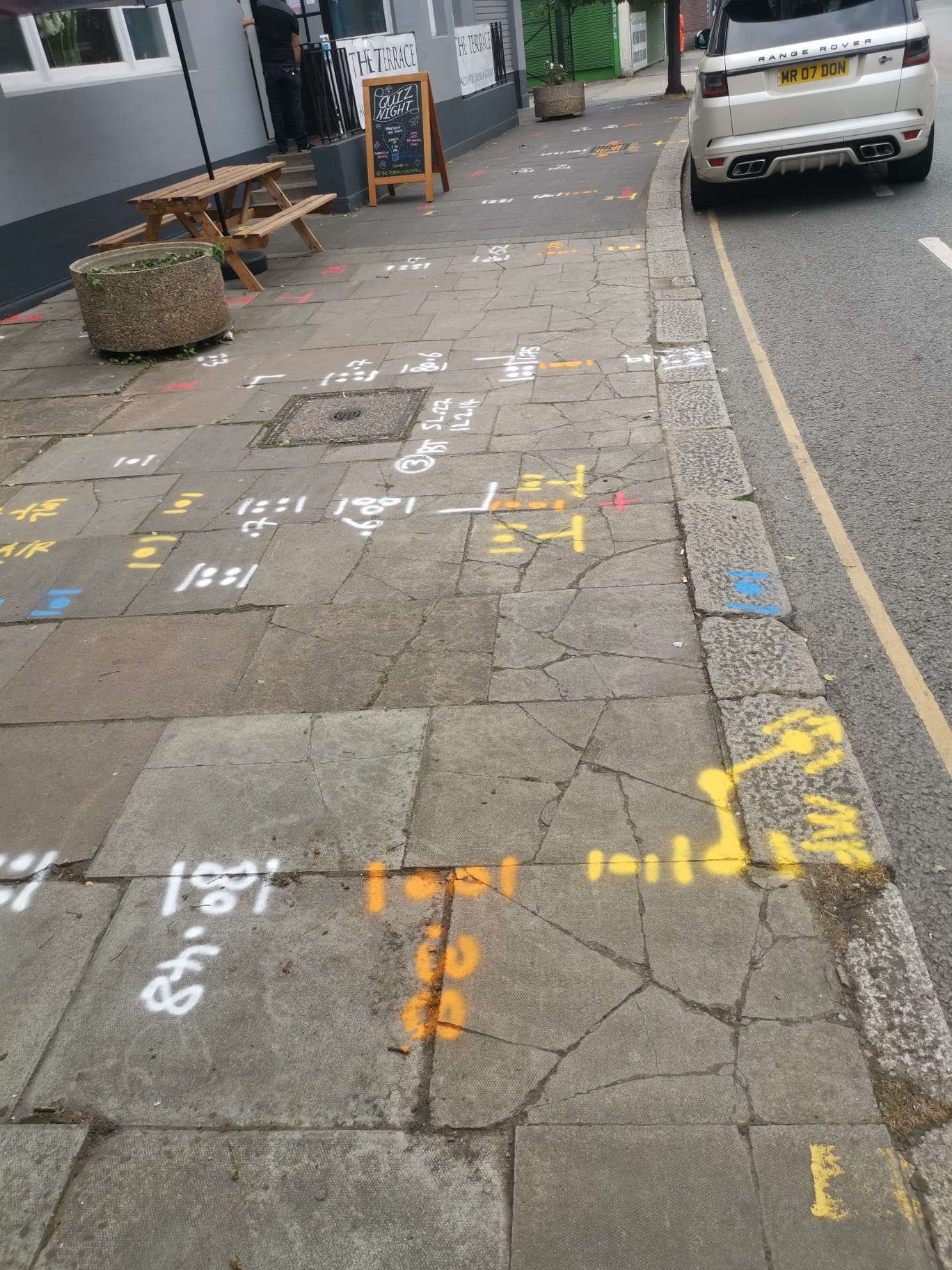
PAS128 Utility Mapping

PAS128 Utility Mapping Experts

PAS128 Utility Mapping is a standardised method for locating and mapping underground utilities. This specification, developed by the British Standards Institution (BSI), provides guidelines to ensure consistent, accurate, and reliable data collection and representation of subsurface utilities.

What is PAS128 Utility Mapping?

PAS128 Surveys cover various detection techniques, including electromagnetic location (EML) and ground-penetrating radar (GPR), and sets out the quality levels required for different survey types. By adhering to PAS128 standards, utility surveys minimise the risks of striking underground utilities during excavation, leading to safer and more efficient construction projects.

It also enhances data sharing and integration across projects, contributing to improved project planning and execution. The standard applies to a range of sectors including construction, engineering, and infrastructure development, promoting a unified approach to underground utility mapping and ensuring that all stakeholders can rely on the accuracy and comprehensiveness of the utility data provided.

For PAS128 Utility Mapping Surveys..

Contact Subvision for PAS128 Utility Mapping Surveys to ensure precise underground utility detection, reduced risks and ensuring safe construction.

Contact Us

Catch up with our experts now to delve deeper into the details and gain valuable insights today!

PAS 128 Utility Mapping – Types

Type D: PAS128 Utility Mapping – Desktop Utility Records Search

Type D surveys involve the collection and review of existing utility records from various sources, including utility companies, public records, and historical data. This initial phase aims to gather as much information as possible about the existing utilities in a given area. The accuracy of Type D surveys is limited by the quality and completeness of the records available. Although this survey type provides a foundational understanding, it is considered the least accurate among the PAS 128 types due to its reliance on potentially outdated or incomplete data.

Type C: PAS128 Utility Mapping – Site Reconnaissance

Type C surveys build upon the information obtained from Type D surveys by adding visual inspections of the site. This involves identifying visible signs of utilities, such as manholes, utility markers, and access points. Surveyors conduct a thorough walkover of the area to verify and supplement the desktop records. Type C surveys improve the confidence level of the data by correlating physical site evidence with recorded information, but they still do not involve any subsurface detection techniques.

Type B: PAS 128 Utility Mapping – Detection

Type B surveys employ non-invasive geophysical methods to detect and map underground utilities. This type of survey utilises technologies such as Ground Penetrating Radar (GPR), electromagnetic location, and other geophysical techniques to identify the presence and approximate location of buried utilities. Type B surveys are further classified into four sub-types based on the density and confidence of the data collected:

  • B1: High-confidence data with detailed mapping.
  • B2: Moderate confidence with less dense mapping.
  • B3: Lower confidence and density.
  • B4: Basic detection with the least density. Type B surveys provide a higher level of accuracy compared to Type C and D surveys, offering detailed information about the location and depth of utilities without physical excavation.

Type A: PAS 128 Utility Mapping – Verification

Type A surveys are the most accurate and involve physically exposing the utilities to confirm their location, size, and condition. This verification process is usually done through vacuum excavation, hand digging, or other safe excavation methods. Type A surveys provide the highest confidence level and are used to validate the findings from Type B detection surveys. By directly exposing the utilities, surveyors can accurately document their exact position and characteristics, making this the most reliable survey type under PAS 128.

PAS 128 Utility Mapping – Summary

Each PAS 128 survey type serves a distinct purpose in the process of underground utility detection and mapping. Starting from the broad and less accurate Type D desktop records search, progressing through Type C site reconnaissance and Type B geophysical detection, and culminating in the highly accurate Type A verification, these survey types collectively ensure a comprehensive and systematic approach to understanding and documenting subsurface utilities.

Related Services

Pas 128 Utility Mapping Surveys

Topographical Surveys

CCTV Drainage Condition Surveys & Jetting Services

Desktop Utility Search Packs /
PAS 128 Type D

Drone Surveys

3D Laser Scanning – Modelling – BIM

Why Work with us

Miguel Bathan
Miguel Bathan
2023-04-24
Subvision Surveys is a top-notch surveying company that consistently delivers high-quality results. Their team is professional and knowledgeable, and they take the time to ensure that their clients' needs are met. I would highly recommend their services to anyone in need of accurate surveying data.
Chris Weller
Chris Weller
2023-04-24
I have worked with Subvision on a number of projects. I have always found their work ethic and professionalism second to none. A massive thanks to James and the Subvision team.
Michael Flaherty
Michael Flaherty
2023-04-24
Done a fantastic utility survey for me recently, will be my go-to choice for any surveying needs. I highly recommend!
Mia Cotton
Mia Cotton
2023-04-24
Brilliant team
Bright Lights
Bright Lights
2020-01-20
Very knowledgeable and friendly staff. The job itself was completed to a very high standard and the drawings that were provided afterwards were incredibly detailed and accurate. We have used similar companies in the past but these guys were so much better than all of them put together. Would definitely use Subvision again and look forward to doing so.