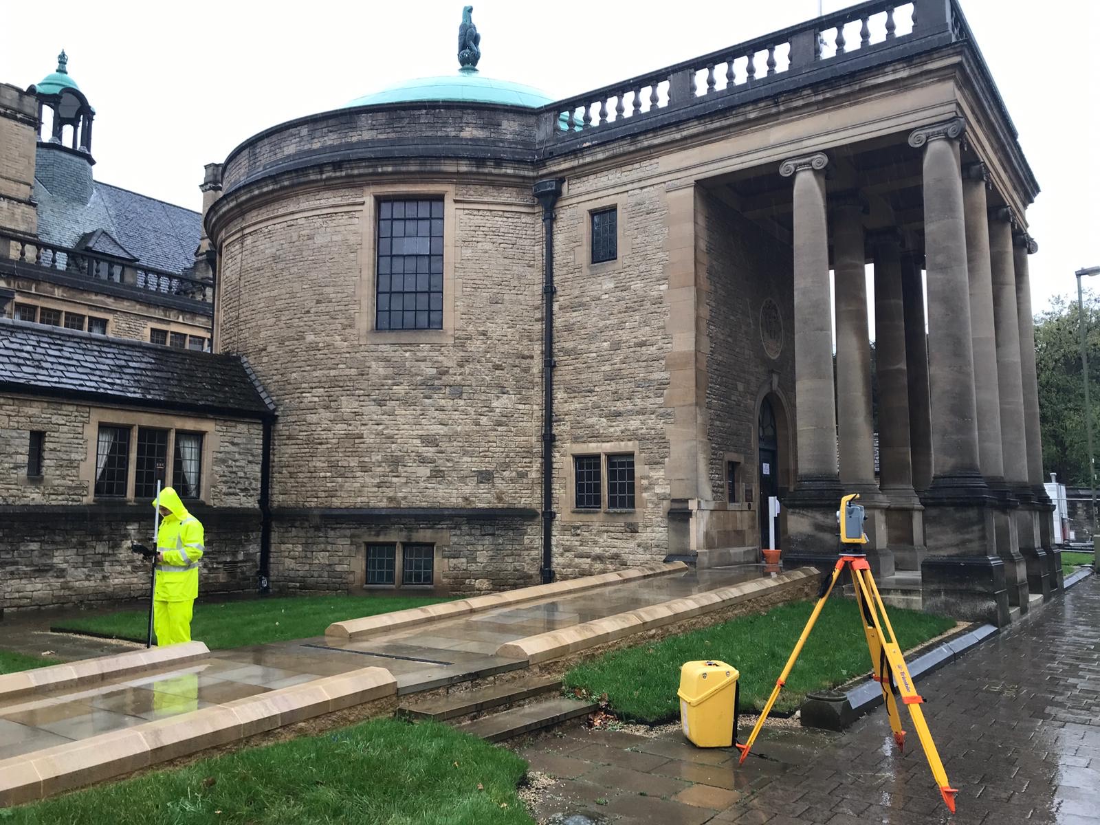

Topographical Surveys
Tailored Topographical Surveys
With Subvision Surveys, you can rely on our extensive capabilities and advanced equipment to conduct a thorough and precise topographical survey of your site, tailored to meet your specific requirements. We possess the expertise to capture topographical data and align it with the Ordnance Survey grid and datum, or we can adapt to your project’s grid system.
Quality Topographical Information
The topographical survey (also known as a Topo Survey) CAD drawings we provide furnish our clients with up-to-date and accurate plans of the work area. High-quality topographical information plays a vital role in every stage of the project life cycle, including feasibility assessment, planning, design, construction, and final handover.
Nationwide Topographical Surveys
We have experience of working on some of the biggest projects in Essex, Kent and nationwide with Wembley, Heathrow Terminal 2 and The Shard being the sites for just a few of our services, including Measured Building Surveys, Drone Surveys & 3D Laser Scanning.
Unsure what services you need?
Feel free to contact the team 03300 579 730
With Subvision Surveys, you can rely on our extensive capabilities and advanced equipment to conduct a thorough and precise topographical survey of your site, tailored to meet your specific requirements. We possess the expertise to capture topographical data and align it with the Ordnance Survey grid and datum, or we can adapt to your project’s grid system.
Our Location
EXCELLENTBased on 6 reviews Trustindex verifies that the original source of the review is Google.
 Miguel Bathan2023-04-24Subvision Surveys is a top-notch surveying company that consistently delivers high-quality results. Their team is professional and knowledgeable, and they take the time to ensure that their clients' needs are met. I would highly recommend their services to anyone in need of accurate surveying data.Trustindex verifies that the original source of the review is Google.
 Chris Weller2023-04-24I have worked with Subvision on a number of projects. I have always found their work ethic and professionalism second to none. A massive thanks to James and the Subvision team.Trustindex verifies that the original source of the review is Google.
 Michael Flaherty2023-04-24Done a fantastic utility survey for me recently, will be my go-to choice for any surveying needs. I highly recommend!Trustindex verifies that the original source of the review is Google.
 Mia Cotton2023-04-24Brilliant teamTrustindex verifies that the original source of the review is Google.
 Bright Lights2020-01-20Very knowledgeable and friendly staff. The job itself was completed to a very high standard and the drawings that were provided afterwards were incredibly detailed and accurate. We have used similar companies in the past but these guys were so much better than all of them put together. Would definitely use Subvision again and look forward to doing so.
Have Any Questions?
Have Any Questions?
If you have any questions regarding our services feel free to contact the Subvision team.

