
Underground Utility Mapping Harlow
Harlow is unlike most Essex towns in one significant way: much of it was purpose-built as a New Town from the late 1940s onwards, with infrastructure planned and installed in coordinated phases rather than growing organically over centuries. That planned history shapes what our surveyors expect to find, and where the real risk of undetected services tends to lie.
A New Town With Its Own Utility Pattern
Because Harlow was largely designed and built within a defined post-war period, much of its core utility infrastructure was installed to the standards and layouts of that era, often in neighbourhood-based phases as the town expanded outward from its centre. This means utility runs can be more consistent and predictable within a given phase of development than in a town that grew piecemeal over several centuries, but it also means infrastructure across the town is now reaching an age where repairs, replacements and additions have started to create the kind of layered complexity newer developments don’t yet have.
Industrial and Commercial Estates
Harlow includes several established industrial and commercial estates, where utility density is often higher than in purely residential streets, with multiple services frequently running close together to serve units with different power, data and drainage requirements. Surveys on these sites need to account for this closer spacing, since services can be harder to distinguish from one another where several run in close proximity.
Redevelopment and Regeneration Sites
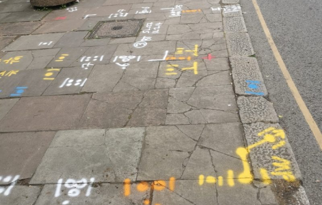
As some of Harlow’s original post-war buildings and estates reach the end of their design life, redevelopment and regeneration projects have become an increasingly common driver of utility mapping work in the town. These sites often combine the challenge of older, sometimes incompletely recorded original infrastructure with more recent additions made during partial upgrades over the decades since, making an accurate survey particularly valuable before redevelopment work begins.
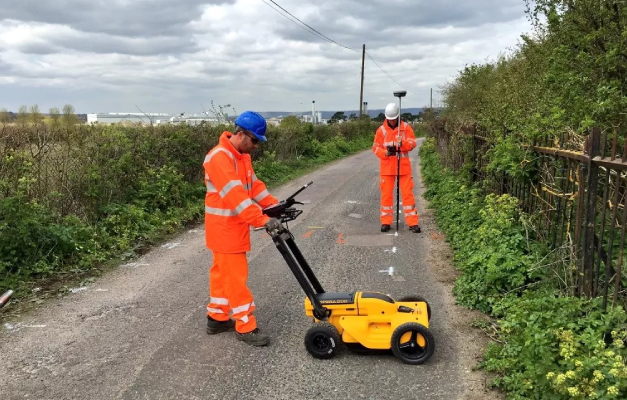
Subvision Surveys is SSIP and ISO accredited, with a team of over 25 surveying professionals delivering underground utility mapping across Harlow, Colchester and the wider Essex area. Contact Subvision Surveys today to discuss underground utility mapping in Harlow, or speak to one of our experts on 0333 920 942.
Underground Utility Mapping FAQ’S
