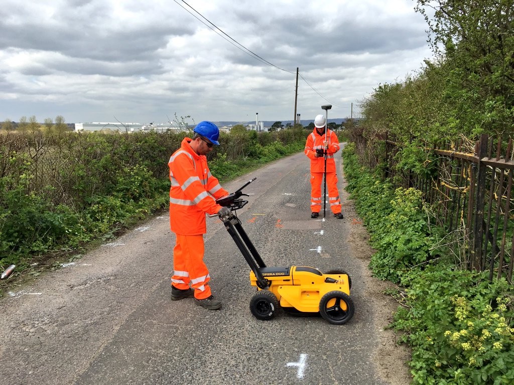
History of Underground Utility Mapping Surveys in the UK
The evolution of underground utility mapping in the UK has mirrored global advancements while also being shaped by the specific needs and regulatory environment of the region.
Underground Utility Mapping Surveys – Early Developments
- 19th Century:
- With the advent of the Industrial Revolution, the UK saw rapid urbanisation and the expansion of infrastructure, necessitating the installation of underground utilities such as gas, water, and sewage systems.
- Initially, records of underground utilities were kept manually on paper, often resulting in inaccuracies and inconsistencies.
- Early 20th Century:
- As cities grew, the need for more accurate and systematic recording of underground utilities became evident.
- Utility companies began to maintain detailed maps and records, but these were often isolated to each company, leading to fragmented and sometimes conflicting information.
Underground Utility Mapping Surveys – Technological Advancements
- Mid-20th Century:
- The introduction of electromagnetic detection techniques provided a significant advancement. These techniques allowed for the detection of metallic pipes and cables without excavation.
- Electromagnetic locators became standard tools for utility detection, improving the ability to locate buried services more accurately.
- 1960s – 1970s:
- Ground Penetrating Radar (GPR) was developed and initially used for geological and military applications. By the late 1970s, it was being adapted for utility detection, enabling the location of non-metallic utilities like plastic pipes.
- The adoption of GPR marked a significant improvement in the ability to map complex underground environments.
Underground Utility Mapping Surveys – Digital Era and Standardisation
- 1980s – 1990s:
- The advent of computer technology and Geographic Information Systems (GIS) revolutionised the mapping and management of underground utilities. Digital records replaced paper maps, allowing for easier updates and more precise spatial analysis.
- Utility companies began to digitise their records, leading to more accurate and accessible information.
- 2000s:
- The integration of GPR, GPS, and GIS technologies further enhanced the accuracy and reliability of utility mapping. These technologies allowed for the creation of comprehensive 3D models of underground utilities.
- The need for standardised practices became apparent to ensure consistent and reliable data across different projects and regions.
Underground Utility Mapping Surveys – Establishment of Standards
- PAS128 (2014):
- In response to the growing need for standardised utility mapping practices, the British Standards Institution (BSI) introduced PAS128 in 2014. This specification provided a comprehensive framework for the detection, verification, and location of underground utilities.
- PAS128 outlines four main types of surveys (Type D, Type C, Type B, and Type A) and specifies the methodologies, accuracy levels, and reporting requirements for each type. This standardisation ensures consistency and reliability in utility mapping across the UK.
Modern Utility Mapping Practices
- Advanced Technologies:
- Modern utility mapping in the UK employs a range of advanced technologies, including GPR, electromagnetic induction, acoustic methods, and vacuum excavation.
- The integration of these technologies with advanced software allows for the creation of detailed and accurate utility maps.
- Data Integration and Management:
- GIS platforms are widely used to integrate data from various sources, providing a comprehensive view of subsurface utilities.
- Real-time data collection and processing have become more prevalent, enabling more efficient and accurate surveys.
Underground Utility Mapping Surveys – Future Trends and Innovations
- Technological Advancements:
- Emerging technologies such as drones equipped with GPR, machine learning algorithms for data interpretation, and enhanced 3D modeling are poised to further revolutionise utility mapping.
- Continuous improvements in data sharing and collaboration platforms are enhancing the accessibility and utility of subsurface information.
- Regulatory and Industry Developments:
- Ongoing updates to standards like PAS128 reflect technological advancements and evolving industry needs, ensuring that utility mapping practices remain current and effective.
- Greater emphasis on regulatory compliance and safety continues to drive improvements in utility mapping methodologies.
Underground Utility Mapping Surveys – Conclusion
The history of underground utility mapping surveys in the UK reflects a progression from manual, paper-based records to sophisticated, technology-driven practices. The establishment of PAS128 has played a crucial role in standardising utility mapping, ensuring accuracy, and enhancing safety. As technology continues to advance, the field of utility mapping is set to become even more precise and efficient, supporting the development and maintenance of the UK’s urban infrastructure.
Our Location


