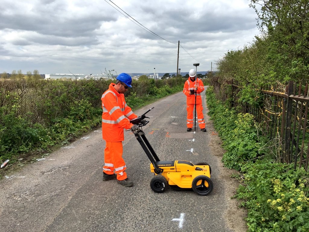
What is the purpose of Underground Utility Mapping?
Underground utility mapping has a variety of purposes. One of the main reasons a company would choose to use underground utility mapping is to prevent any damage to underground utilities during construction or excavation projects. Underground utility mapping provides you with the confidence of cost savings, improvements to safety and development planning.
Underground Utility Mapping – Key Components
There are 3 core key components to underground utility mapping. These include data collection via geophysical methods. Geophysical methods include Ground Penetrating Radar, Electromagnetic Induction and also Sonar. Non-Geophysical include things like visual inspection, desktop utility record searches and also in person site site inspections.
The second component is data processing. This is where the raw data that is gathered from the underground utility mapping survey is analysed to see the specific locations and inspect the actual condition of the utilities located underground.
The third and very important part of the key components is the presentation of the data gathered from the utilities mapped. The data is presented in a form of detailed maps, 3D models which also are complemented with reports of the subject.
For more information please contact one of the experts at Subvision today.
Our Location


