LiDAR Surveys

LiDAR surveying uses laser pulses to capture accurate 3D data across large sites, corridors, and terrain, making it particularly effective where wide area coverage is needed rather than the detailed interior scanning of a single building. Often deployed via drone through our sister company, Sky Vision Surveys, LiDAR allows us to capture accurate topographical and terrain data quickly across sites that would be time-consuming to survey using ground-based methods alone.

Our LiDAR Survey Process

LiDAR equipment emits laser pulses across the survey area, measuring the time taken for each pulse to return to build up an accurate 3D representation of the ground, vegetation, and features within it. This data is processed into digital terrain models, contour data, and topographical outputs, giving engineers and planners an accurate picture of large or complex sites without the access constraints of ground-based surveying.

LiDAR Surveying for Large and Complex Sites

Our team uses LiDAR to survey large sites, corridors, and terrain across Essex and nationwide, supporting projects such as infrastructure schemes, land development, and route surveys where wide area coverage is needed. With more than 3 decades of surveying experience, SSIP and ISO accredited processes, and Safe Contractor, CHAS, and Constructionline approved working methods, we deliver accurate LiDAR survey data at competitive rates, tailored to the scale of each project.
Get Your Free Quote

Click or drag a file to this area to upload.

Popular surveys trusted by industry professionals.

Popular surveys trusted by industry professionals.

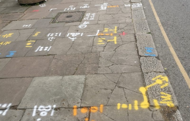
Underground utility markings sprayed on a pavement after a PAS 128 survey

PAS128 Surveys

PAS128 surveys provide accurate underground utility mapping to reduce risk and delays.

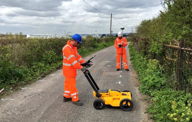
Subvision surveyors carrying out a GPR survey with a ground penetrating radar cart

GPR Surveys

GPR surveys identify hidden underground features to support safer site development works.

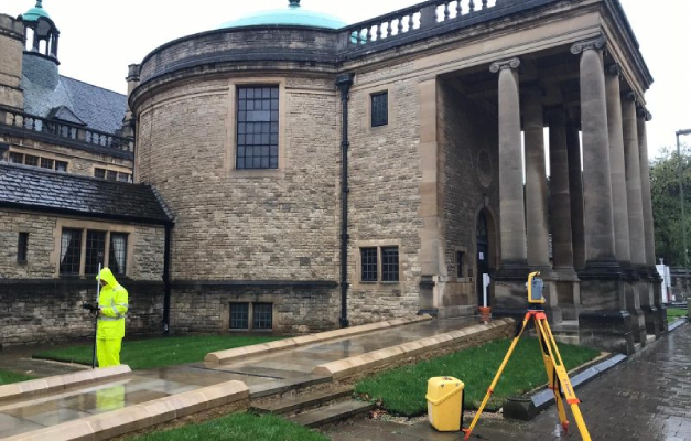
Surveyor using a total station for a topographical survey of a heritage building

Topographical Surveys

Topographical surveys provide accurate land and site data to support planning and design.

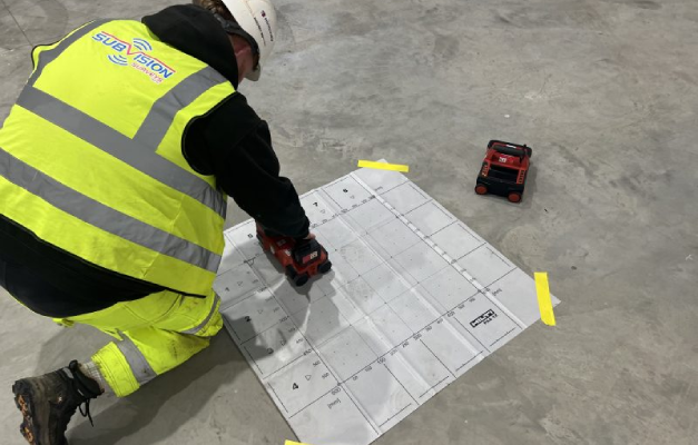
Surveyor ferro scanning a concrete floor slab over a reference grid

Ferro Scanning

Ferro scanning and GPR rebar mapping surveys locate hidden steel and concrete details.

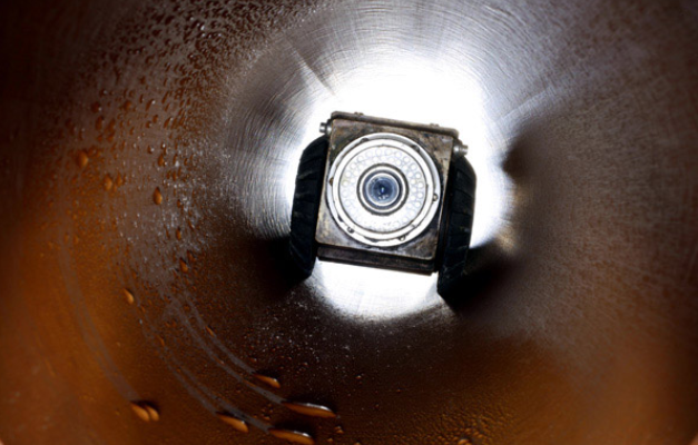
CCTV drain survey camera inspecting the inside of a drainage pipe

CCTV Surveys

CCTV drainage surveys and jetting identify blockages and assess pipe conditions fast.

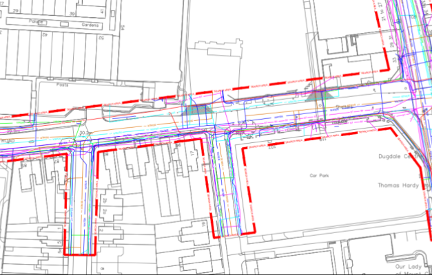
Utility search pack drawing showing buried service routes on a site plan

Utility Search Packs / PAS128 Type D

Desktop utility search packs provide essential PAS128 Type D underground asset data.

LiDAR Survey FAQs

A LiDAR survey uses laser pulses to measure distances and capture accurate 3D data across a site, building up a detailed representation of terrain, vegetation, and features.

LiDAR is typically used for wide area coverage, such as large sites, corridors, and terrain, often via drone, while laser scanning is generally used for detailed surveys of individual buildings and structures.

Yes. LiDAR surveys are often carried out via drone through our sister company, Sky Vision Surveys, allowing us to cover large or difficult-to-access areas efficiently.

LiDAR data is processed into digital terrain models, contour data, and topographical outputs, supporting infrastructure design, land development, and route planning projects.

Yes. LiDAR is particularly effective for infrastructure schemes and route surveys, where accurate data is needed across large or linear sites quickly.

Yes. LiDAR is often combined with ground-based methods, such as topographical or laser scanning surveys, where more detailed data is needed in specific areas.

Yes. Our team carries out LiDAR surveys across Essex and nationwide, supporting projects of varying scale where wide area coverage is required.

Have Any Questions?

If you have any questions regarding our services feel free to contact the Subvision team.

Subvision Surveys accreditations: QUVA ISO certification, Achilles UVDB, SafeContractor, Constructionline, Builder's Profile, European GPR Association, Avetta, SMAS, CHAS, Essex Chambers of Commerce and The Survey Association